
Do you see Drones flying overhead and wonder how this exciting technology is being used for more than just fun and photography? Many people are intrigued by these aerial robots but struggle to understand the complex technology and the vast professional applications emerging today. You want a clear, friendly roadmap to grasp how Drones and aerial robotics are fundamentally reshaping industries, from construction to cinematography. Drones are truly changing the way we view, monitor, and interact with the world. Therefore, by reading this comprehensive guide, you will learn about the key types of UAVs (Unmanned Aerial Vehicles), their innovative applications, the core technology that powers them, and discover the essential apps to help you safely and effectively engage with the world of Drones.
Decoding Drones and the New Robotics
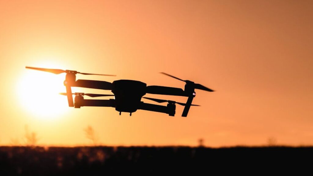
The device we commonly call a Drone is formally known as an Unmanned Aerial Vehicle (UAV). These flying robots represent one of the most accessible and rapidly evolving sectors of modern robotics. They combine sophisticated flight mechanics with powerful sensor technology and intelligent software. Consequently, this enables them to perform tasks with unprecedented efficiency and safety. Understanding their capability is key to preparing for the future of automation.
The Core Technology: What Makes a Modern Drone Fly?
Modern Drones are far more than remote-controlled toys. They rely on a convergence of multiple technologies to achieve stability, navigation, and mission execution. This integrated approach is what separates a simple model from a professional aerial robotics system.
Key Components Enabling Autonomous Flight
The ability of a UAV to fly and perform complex tasks autonomously depends heavily on its internal hardware and software. Indeed, precision is critical.
- Flight Controllers (FCs): This is the “brain” of the drone. In essence, it runs the firmware and stabilizes the aircraft by adjusting motor speeds based on sensor input.
- GPS and GNSS: Global Navigation Satellite Systems allow the device to pinpoint its location with extreme accuracy. Thus, it can follow pre-planned routes and return home reliably.
- Inertial Measurement Units (IMUs): These units contain accelerometers and gyroscopes that measure the craft’s orientation and velocity. Moreover, this ensures stable flight even in windy conditions.
- LiDAR and Obstacle Avoidance: Advanced Drones use LiDAR (Light Detection and Ranging) and stereo vision to build 3D maps of their surroundings. Therefore, they can automatically avoid collisions.
The continuous refinement of these components is driving down costs and increasing the capabilities of these flying machines.
Beyond Hobby: Commercial Applications of Drones
While recreational flying is popular, the most profound impact of Drones is in the commercial sector. They provide a cheaper, safer, and faster alternative to traditional methods of inspection, data collection, and surveying.
Industry-Specific Drone Applications
Drones have become essential tools across a wide range of industries. For instance, their versatility allows them to be reconfigured with specialized payloads for specific tasks.
- Construction and Surveying: UAVs generate high-resolution orthomosaic maps and 3D models of sites. This allows managers to track progress and calculate stockpiles accurately.
- Infrastructure Inspection: Drones inspect hard-to-reach areas like wind turbines, bridges, and cellular towers. This significantly reduces the safety risks and time associated with manual inspections.
- Agriculture (Precision Farming): UAVs monitor crop health using multispectral imaging to detect issues invisible to the human eye. Consequently, farmers can apply water and fertilizer precisely where needed.
The ability to capture real-time, high-quality aerial data has created massive efficiencies for businesses worldwide.
The Integration with Robotics: Drones as Flying Robots
Drones are a form of aerial robotics because they are programmable, autonomous, and interact physically with their environment (via data collection or delivery). Their development is closely linked to advances in general robotics and AI.
AI and Autonomy in UAV Missions
The true intelligence of modern Drones comes from their integrated AI software. This allows them to perform complex, non-linear missions without constant human input.
- Autonomous Navigation: AI algorithms optimize flight paths, minimizing battery consumption and maximizing area coverage.
- Object Recognition: Drones identify specific items (e.g., damaged roof tiles, misplaced inventory, or lost persons) using deep learning models in real-time.
- Swarm Technology: Multiple Drones coordinate their movements to collect data faster or perform simultaneous tasks, communicating via mesh networks.
Therefore, these autonomous capabilities transform Drones from remote vehicles into intelligent decision-makers.
App Recommendation: To explore the practical side of professional Drones, download DroneDeploy or Pix4Dcapture. These applications demonstrate how professional mapping and mission planning are executed entirely through software, showcasing the integration of AI and UAV technology.
The Future Frontier: Delivery and Public Safety
Two of the most exciting and regulated frontiers for Drones are logistics/delivery and emergency services. However, regulatory frameworks must evolve to match the technology.
Transforming Logistics and First Response
The potential for rapid, on-demand aerial services is immense, promising to reshape urban infrastructure and save lives.
- Medical Delivery: Drones transport essential medical supplies, vaccines, and blood to remote or disaster-stricken areas faster than ground transport.
- E-commerce Delivery: Automated delivery Drones reduce last-mile costs and delivery times in urban and suburban areas.
- Search and Rescue (SAR): UAVs provide aerial oversight during emergencies, transmitting real-time thermal and visual feeds to ground teams.
Regulatory bodies are actively working on concepts like “Drone Corridors” and “UTM” (UAS Traffic Management) to safely integrate this technology into public airspace.
Responsible Drone Operation and Flight Planning
As Drones become more ubiquitous, responsible operation is paramount. Adherence to local aviation regulations (like FAA in the US or ANAC in Brazil) is crucial for the safety of public airspace.
Essential Steps for Safe Flying
Successful and legal drone operations require planning and adherence to specific flight rules. Always prioritize safety.
- Check local airspace rules before every flight.
- Maintain Visual Line of Sight (VLOS) with the aircraft, unless authorized otherwise.
- Avoid flying near airports or sensitive infrastructure.
- Ensure all firmware and technology on the drone is up to date.
Learning these rules is the first step to becoming a professional in aerial robotics.
App Recommendation: To ensure legal compliance, every drone operator should use a reliable airspace mapping app like B4UFLY (FAA) or an equivalent local authority app. This app is essential for checking no-fly zones and temporary flight restrictions before takeoff.
Embracing Aerial Robotics
The Drones revolution is well underway. These highly capable aerial robots are rapidly moving from specialized tools to everyday instruments. They are driving automation, enhancing safety, and providing data in ways we could not have imagined a decade ago. By understanding the core technology and its real-world applications, you empower yourself to participate in this exciting aerial future. The sky is truly no longer the limit; it is the beginning.